
Snow Falls on Washington Passes
Snow levels are dropping sharply, bringing winter driving conditions to the Cascades and Olympic Mountains through Thursday.
By Thabo Hoffmann ·
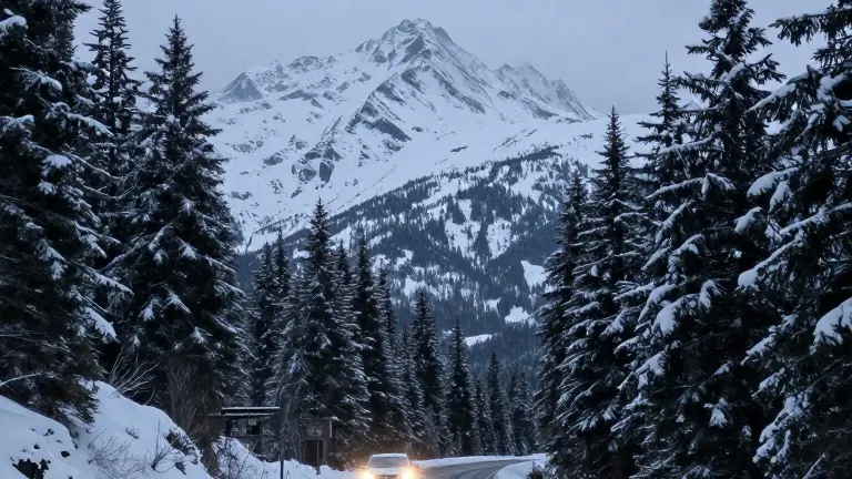
Snow levels in the Washington Cascades will drop below 3,000 feet by late Wednesday night, according to FOX 13 Seattle Chief Meteorologist Brian MacMillan.
The drop forces snow to fall at most mountain passes. A winter weather advisory covers the region from Tuesday evening through Wednesday. Snow levels began around 4,500 to 5,000 feet on Monday. They fell to 3,500 to 4,000 feet overnight into Tuesday.
Drivers should expect up to 4 inches of new snow in the Cascades tonight. Higher totals are possible from Mount Rainier south. Another 4 inches of snow could accumulate on Wednesday. MacMillan noted that locally higher totals are likely near and south of Mount Rainier.
Snow levels will hover between 2,500 and 3,500 feet from Wednesday night into Thursday. This range allows light snow to continue at most mountain passes. Another couple of inches of accumulation is possible during that window.
The Olympic Mountains will receive a trace to 2 inches of snow over the next few days. MacMillan advised travelers crossing the passes tonight or Wednesday to prepare for winter driving conditions. He urged drivers to check the latest pass reports and road conditions before heading out.
Travelers should remain ready for changing conditions along the route. The advisory remains in effect for the Washington Cascades through Wednesday.
Source: KZJO